
What's in our waterways?
A biodiversity baseline for NSW estuaries
When record floods hit New South Wales in 2022, they caused loss of life, widespread damage, and lasting harm to coastal ecosystems.
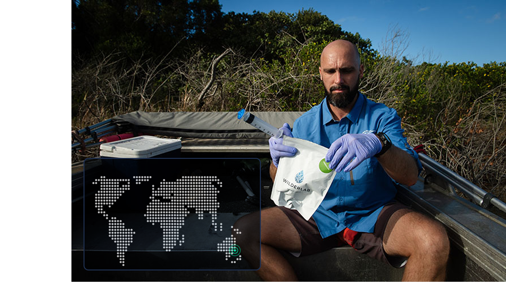
Recovering well from disasters like this depends on knowing what was there beforehand, but for the state's estuaries, the meeting point of rivers and the ocean, no recent state-wide biodiversity baseline existed. The NSW Estuary Asset Protection (NEAP) Program set out to build one. Led by Dr Maarten De Brauwer at Southern Cross University, alongside the NSW Department of Primary Industries and Regional Development (DPIRD) and local Indigenous ranger networks, the team used eDNA to create the first biodiversity map of major river mouths and coastal tributaries along a 1,000 kilometre stretch of coastline.
The method rests on the same idea used to detect COVID fragments in wastewater: organisms constantly shed genetic material (scales, skin, faeces) into their surroundings, and that discarded DNA can be captured from a simple water or sediment sample. Using eDNA metabarcoding, which screens for thousands of species at once, the team sampled 40 estuaries across 179 sites across 6 timepoints.
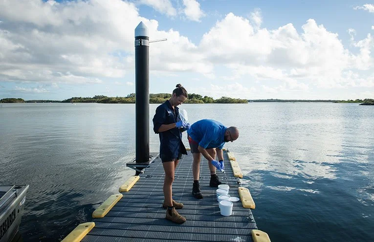
The results now map more than >13,000 species, from birds and worms to plants, fish, and sharks. They also pinpointed 88 invasive pest species, including aquatic weeds, algae, and cane toads detected further south than previously recorded. Because eDNA is so sensitive, some findings needed a bit of sleuthing: water buffalo DNA in the Richmond River traced back to four buffalo (Bob, Ben, Bill, and Bruce) that a local horse trainer was using along the river to train horses.
The real value is what the baseline makes possible next. When water quality is poor after a flood or cyclone, eDNA offers a fast, low-cost way to see how biodiversity is responding, informing management agencies, biosecurity responses, and the ranger networks who care for these systems. That is already being put to the test: the team has returned to sites following Tropical Cyclone Alfred and the extreme rainfall of March 2025 to measure the change against the baseline.
The full dataset is available as an interactive map on Wilderlab's public explore page (wilderlab.co/explore), where anyone can filter the project's results by searching "NEAP".
#Estuaries #NSW #Biodiversity #Biosecurity #InvasiveSpecies #FloodRecovery #DisasterRecovery #IndigenousRangers #CaneToads #MarineScience
Link to read more about the project – https://portmacquarie.newsofthearea.com.au/first-ever-dna-mapping-of-nsw-river-mouths-and-estuaries